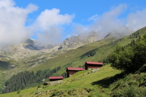
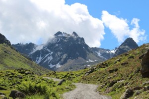
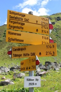
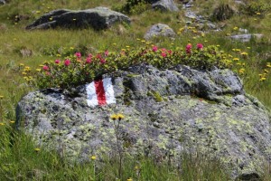
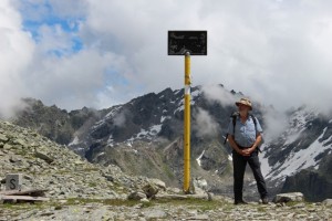
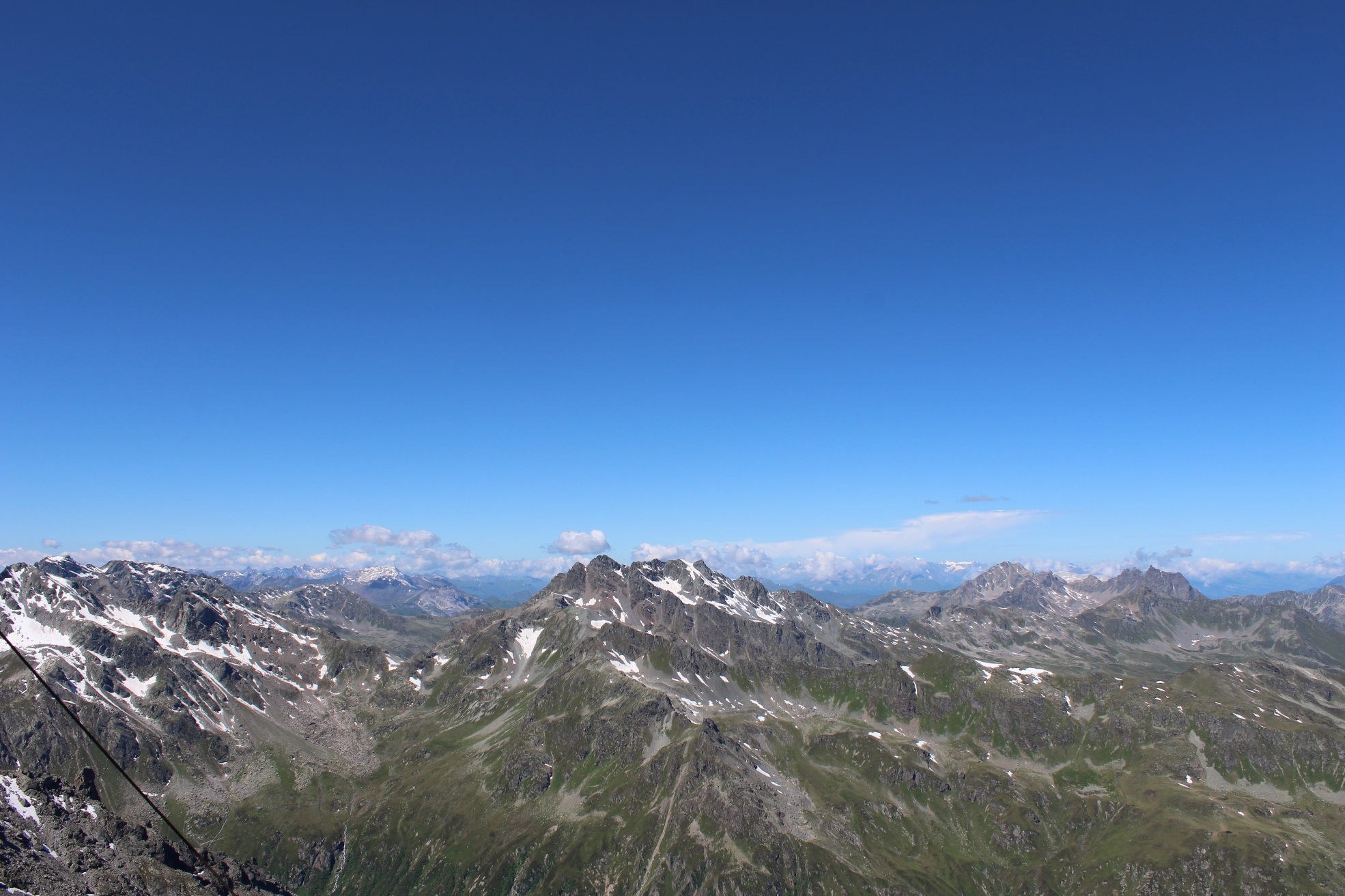
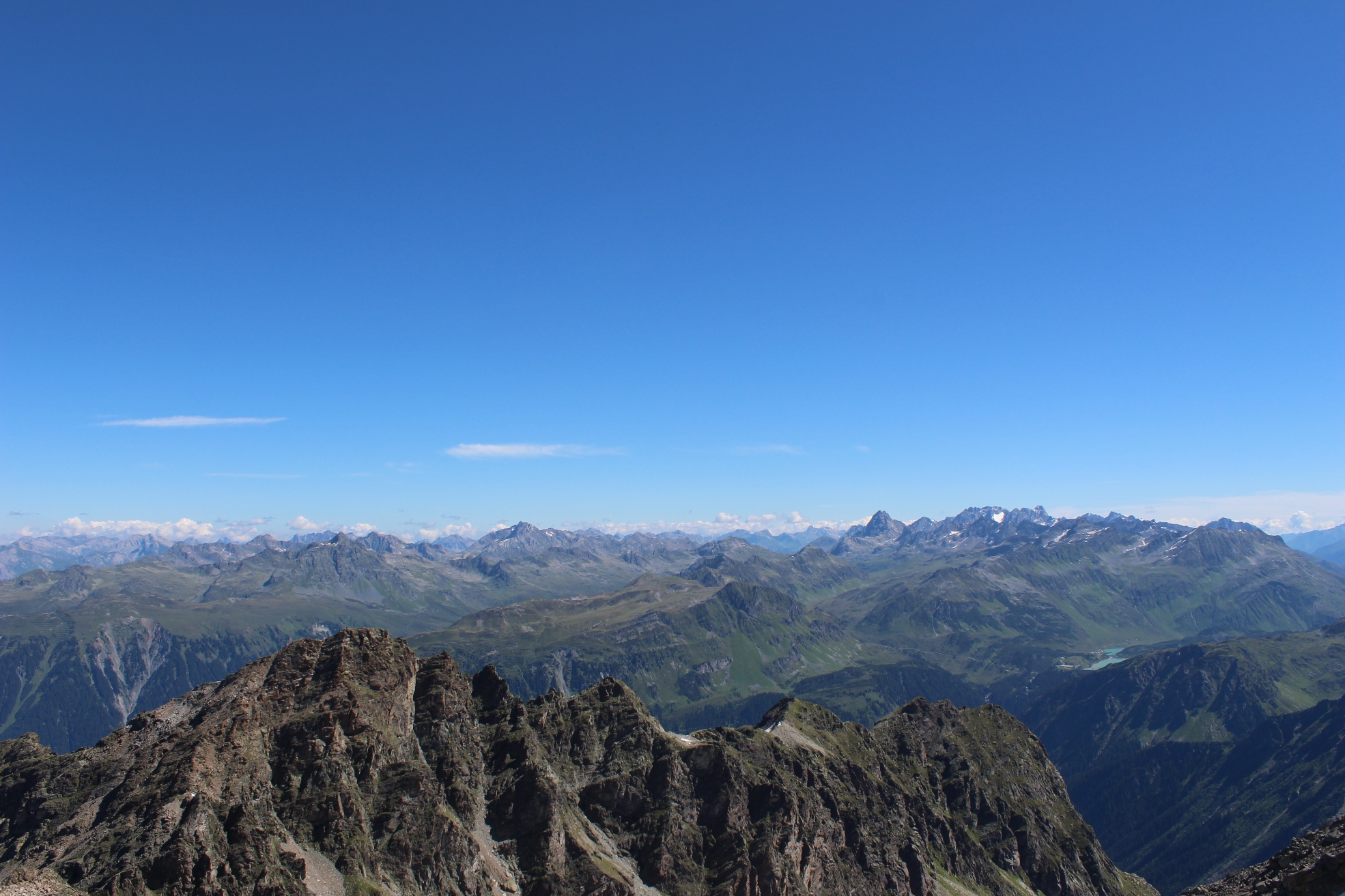
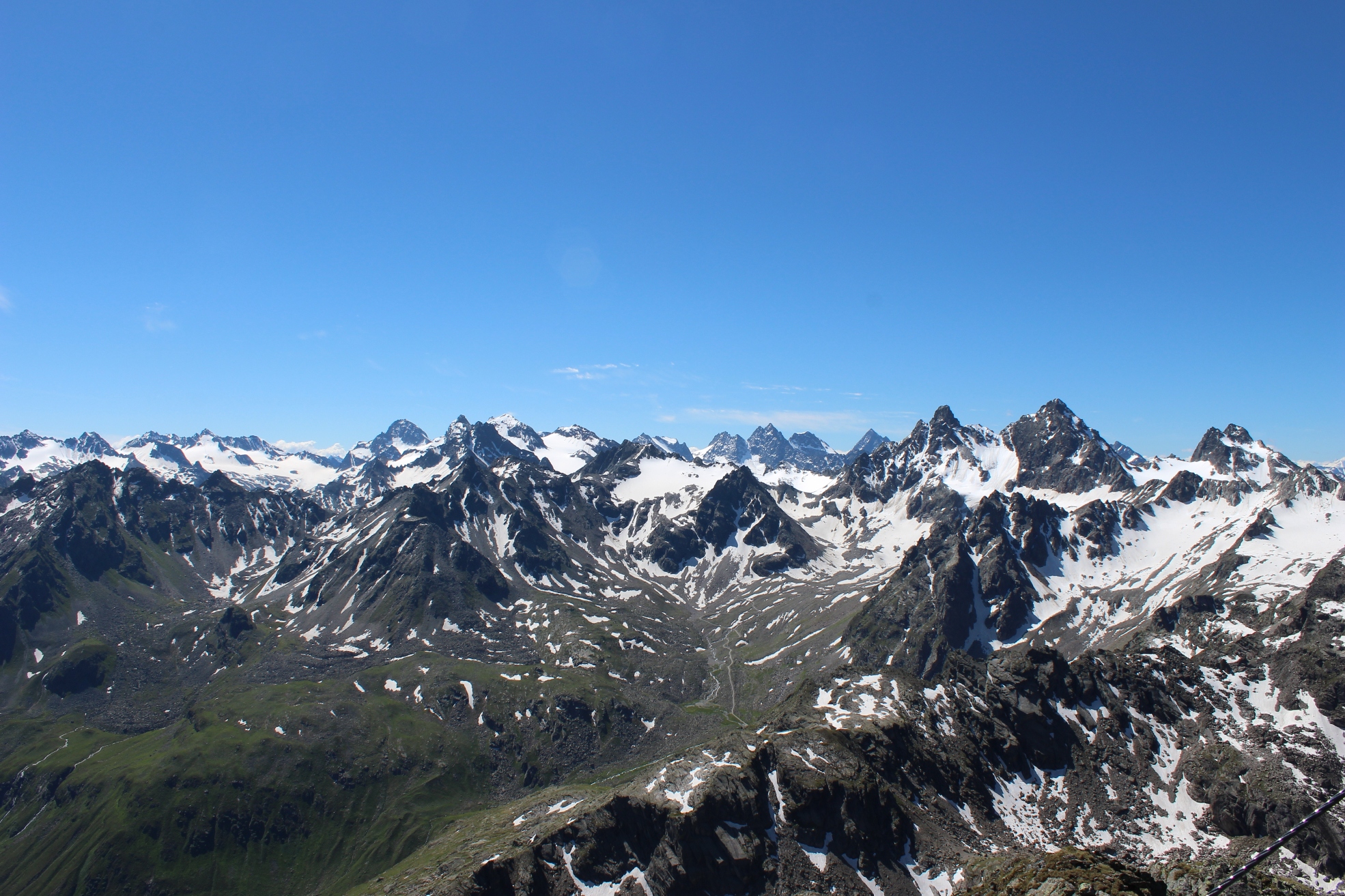
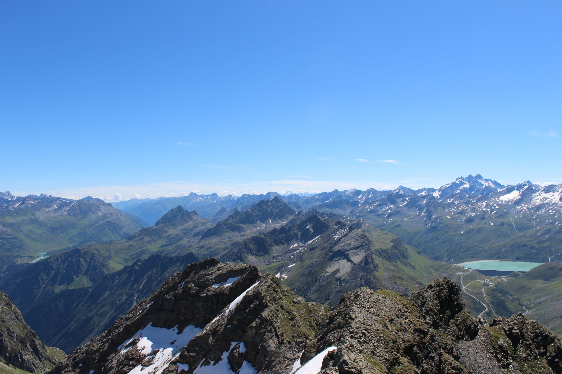
The Raticon and Silvretta are two mountain ranges that straddle the border between Austria and Switzerland (& Lichtenstein). I have wanted to do this trek for some time and the publication of a detailed Cicerone guide by Kev Reynolds provides a description of a wide range of possible routes. It confirmed that there was a marked path from Bielerhöhe to Jamtal Hütte – it is not marked on our maps.
These ranges provide a wide choice of routes of variable lengths. The route we chose was based on the following criteria – 10 days walking, starting somewhere within easy of the UK, finishing in Scuol in Switzerland for a day in a favourite hotel.
Day 1 UK to Brand
The starting point was Brand in Austria. Two hours by train from Zurich to Bludenz then a bus or a taxi (25 €) to Brand. Stayed at Hotel Walliserhof which was excellent. Good food, excellent “wellness” facilities including great swimming pool. (Which I was too tired to use after 3.00 am start.) Room was both comfortable and “designed”. The only downside of the day was that it started raining as we entered Austria.
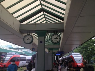
Why nobody buys Austrian railway clocks
Day 2 Brand to Nenzinger Himmel
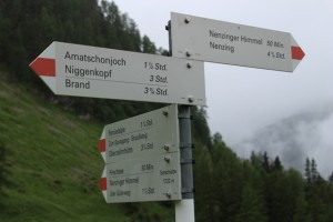
Set off after excellent buffet breakfast at 9.30. Weather misty with threatening looking clouds. Ideal first day walk. Good farm/ski access road (with occasional short cuts) up to morning hot chocolate at Berghof Melkboden. (The Innerpatud Alpe no longer does lunch as promised in guide book and on Brand facilities leaflet picked up at hotel). We had to make do with chocolate at the highest point of the day – Amatschon Joch (2028). The terrain changed as we got over the pass – the path contoured gradually down across steep grass slopes. There was snow in some of the gullies. The snowfields had worn crossing places but they had slipped about 2 metres below path which made crossing a bit of a scramble. Then wood. Then grass. Weather cloudy with occasional drizzle all day. Arrived 3.30 pm. Guest house basic but comfortable. Wiener snitzel for supper.
Note to Kev at Cicerone: the path up must have been resurfaced and is pleasant to walk on either up or down – not “stony” as described.
Day 3 Nenzinger Himmel to Schesaplana Hut
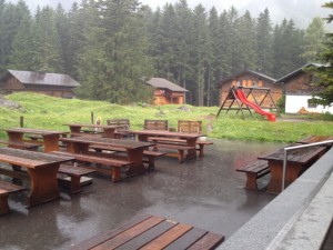
- Morning View
Good breakfast. Heavy rain & low cloud. Set off 8.30 fully waterproofed. Excellent stalkers path to Pfalzer Hut in easy 2 1/2 hours. Goulash soup in Lichtenstein at 11.00.
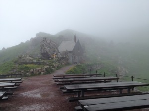
- Pfalzer Hut in Lichtenstein
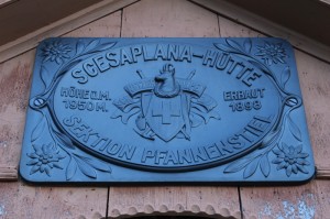
No change in weather. We now start the Ratikon traverse – the best part of two days contouring along the ridge that carries the Austrian-Swiss border – sometimes in Austria and sometimes in Switzerland. One of the downsides of a stop on a wet chilly day is that it feels even colder after the warmth of the hut. Warmed up after a ten minutes and then came to a big mudslide brought on by the heavy rain. Thought it might have to turn back but we managed to scramble across – we learnt that mud does not provide much of a hand hold! Path interesting – lots of ups and downs, snowfields, stream crossings. Probably has impressive views too but we could not see much. Weather improved as we entered Switzerland. Rain stopped, cloud cleared in part, and even some sun as we arrived at the very welcoming Schesplana Hutt at 4.15.
Very welcome beer and cake on arrival. Hut was quiet which was not surprising given the weather. Hot shower very welcome. Meatballs.
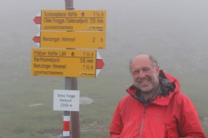
- Highest and Wettest bit of the Day
- Fellow Hut Resident
Day 4 Schesaplana Hut to Carchina Hut
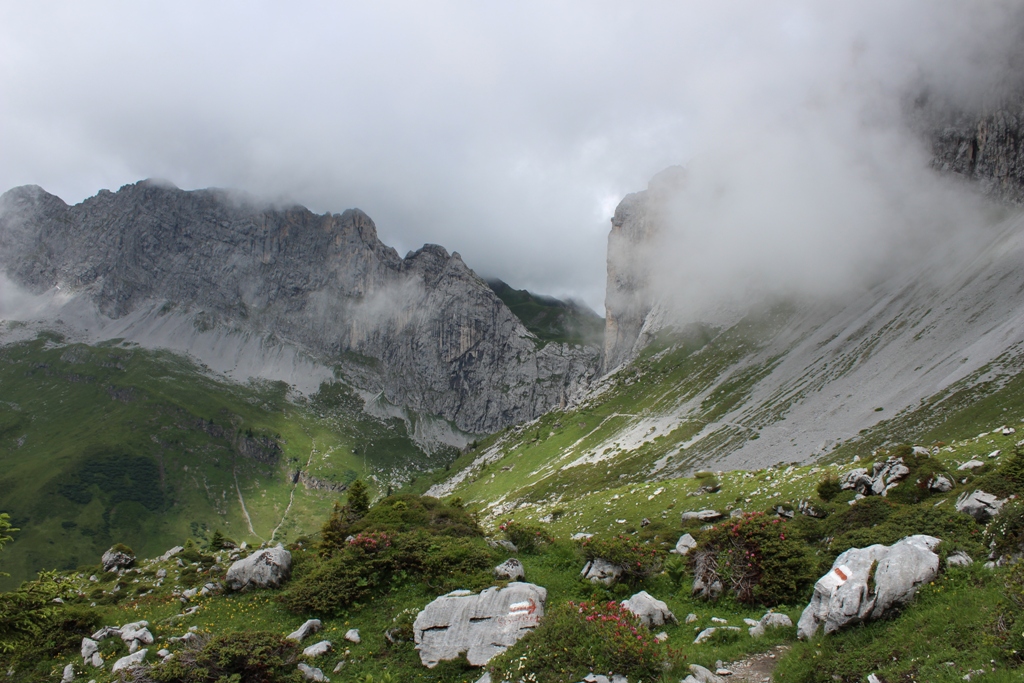
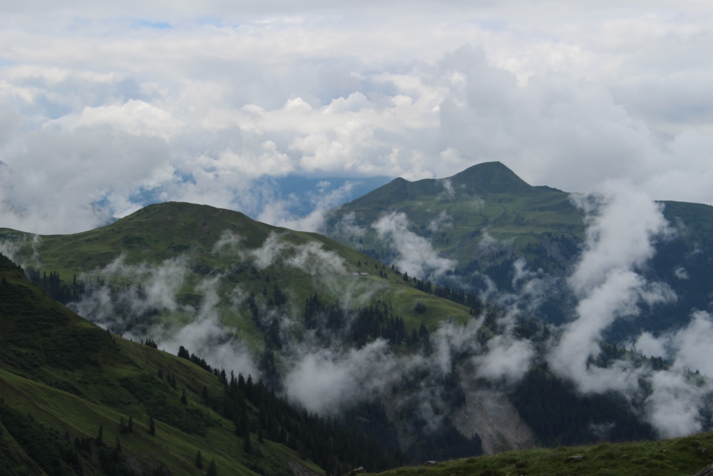
Set off at 8.30. Another wet day but rain lighter and less persistent. Got glimpses of cliffs above and valley below as mist cleared. Still heavy cloud on Austrain side. Very spectacular walk, particularly at Cavelljoch and Sweizertor. Ground wet under foot – plenty of slippery mud. Arrived 4 ish.
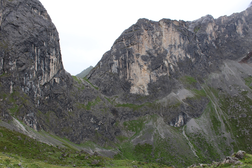
- The impressive Schweizer Tor
Macaroni cheese with ham, potato and apple sauce for dinner – a Swiss classic recipe, apparently.
Note to Kev: See no reason to miss Cavelljoch – no difficulty (particularly compared with what was to come in the Sivretta). The Carchina hut does not have showers.
Day 5 Carchina Hut to St Antonien
It is inevitable when trekking in mountains that some days will be longer than others. Carchina is the last hut on the Ratikon. We needed to head for Schlappin the start of the Silvretta section. According to the book this is a 10 hour – an easy two day walk. The only accommodation on the way is at St Antonien which means the first day will be a lot shorter than the second day.
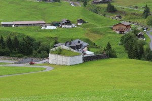
Carchina Hut is set under the enormous cliff of the Sulzfluh, which must be very impressive on a clear day – but we did not see it. There is a possibility of an ascent of the Sulzfluh (an excellent plan to fill up a short day) but not in the weather we were having. The weather was marginally better than the previous day and there was sun and showers as we made our way down to St Antonien. Not all mountain villages are equally charming and St Antonien is on the less charming side. It has two points of interest: goat cheese production – there are lots of goats in the fields; and it has a high avalanche risk and all buildings have large concrete barriers to protect them. We stayed in the Hotel Buel which had good views, but was expensive and a bit strange (for instance, the reception was being used to iron sheets). Very average pork steak for dinner. The Gasthaus Bellawiese on the route out of the village the following day looked much nicer.
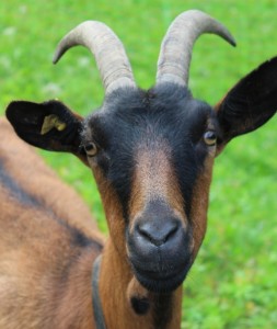
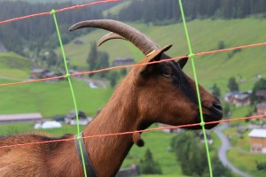
The local cheese producers
Day 6 St Antonien to Schlappin
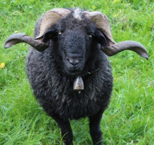
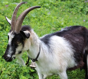
A long (8½ hour) but easy walking day which started of well with pleasant views, lovely flowers and handsome sheep and goats. As we approached the slopes above Klosters, the immediate surroundings became increasing covered with the detritus of sking: lifts of various sorts, bulldozed ski runs, snow makers, warning notices etc. In addition that route was heavily poached by cows. Weather much better, but there were occasional showers – there was a particular heavy one as we descended steeply through a lovely wood to Schlappin.
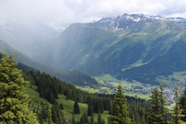 Rain storm approaching Klosters
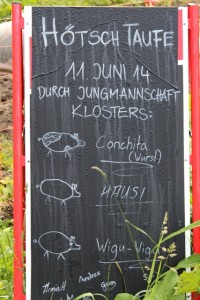
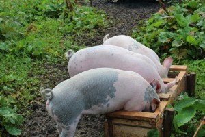
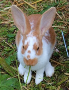
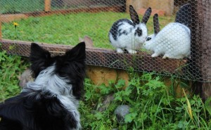
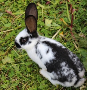
Schlappin is an extremely charming settlement and the Berghaus Erika is a great place to stay. It serves outstanding food and has a collection of very charming domestic animals (a cat, 3 piglets and lots of rabbits).

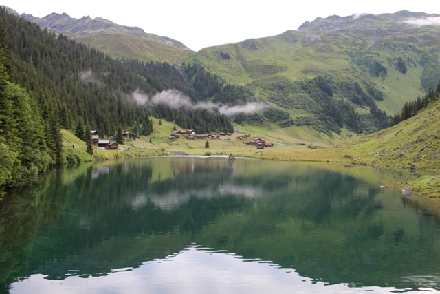
-
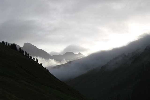
Schlappin at Dawn
Day 7 Schlappin to Tubinger
Weather much better – in fact we had ideal weather for the rest of the trek. Beautiful trip up the Shlappin valley up a good farm track to 2000m. Increasingly good views of Silveretta mountains. Lunch at an old Customs Hut then a short trudge to the top of the pass. Back into Austria – but no need to show our passports at the still existing custom post these days.
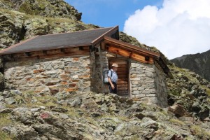
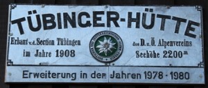
Shortly afterwards the Tubinger Hut comes into view. Snowfields and some boulder hopping on the steep descent. The Tubinger Hut was busy but very well organised and with a great mountain panorama. Beef for dinner. 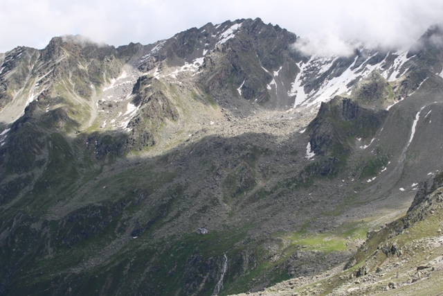
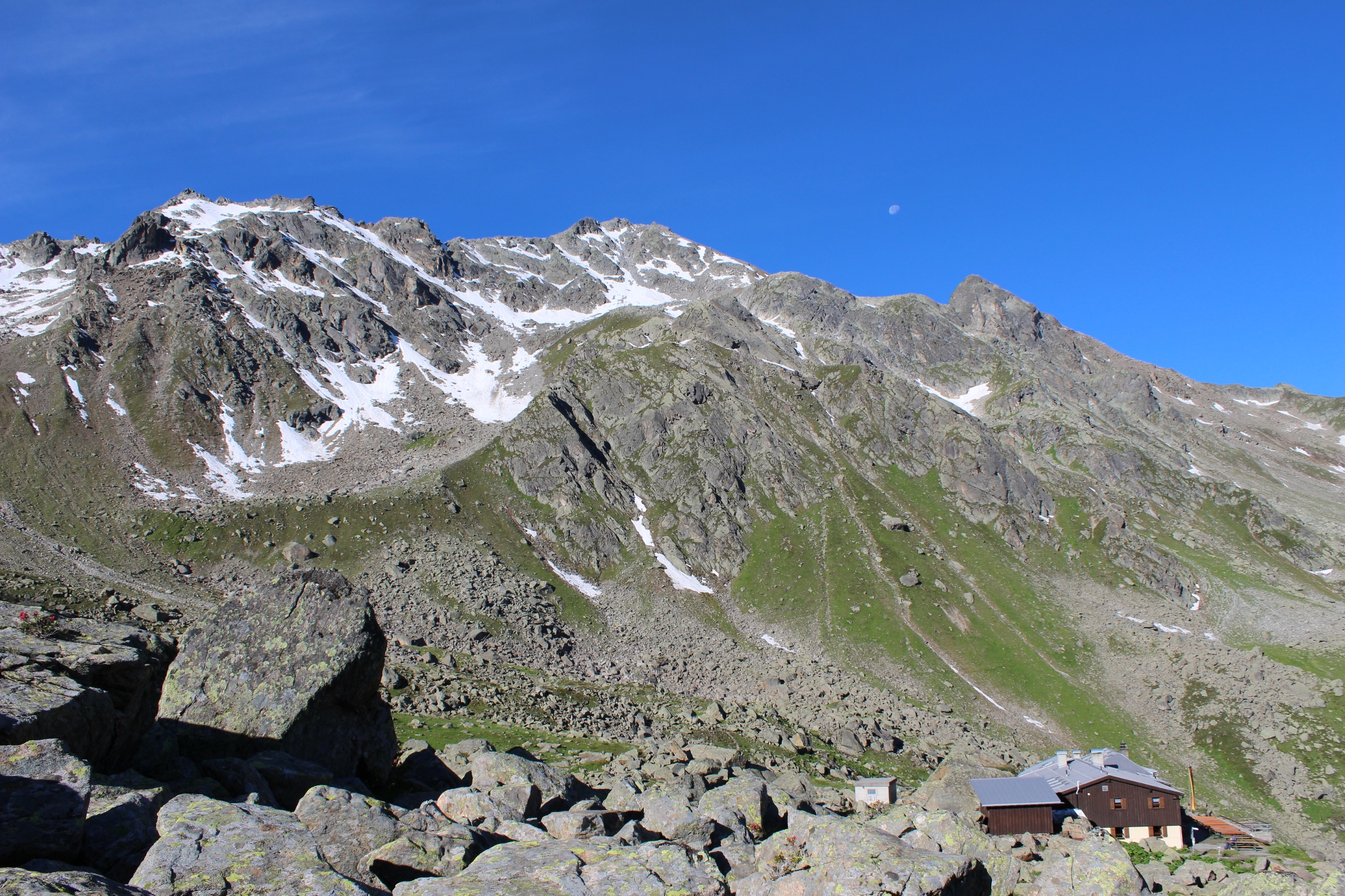
Day 8 Tubinger to Bielerhöhe
The start of three great days in the Silvretta. Great mountain scenery, tough walking, and good accommodation.
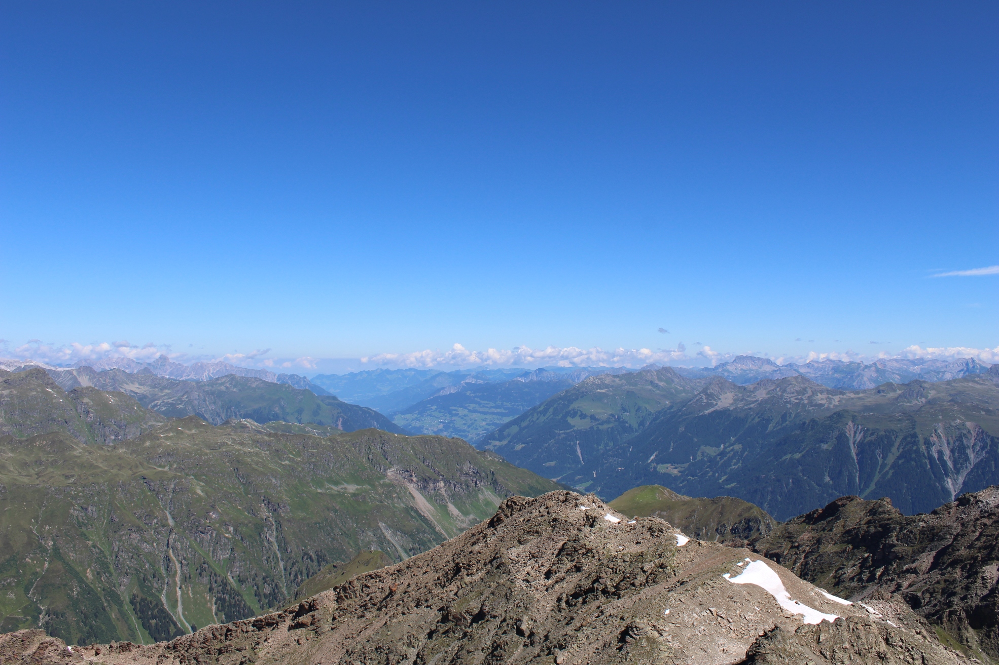
Set off on well engineered track along the top of the steep valley side to the Hochmaderer Joch (2505m). From here there is a strongly recommended excursion (in good weather) to the top of the Hochmaderer (2823m). The well-marked path is steep and loose in places and crosses a couple of snowfields. The view from the top is terrific.
The obvious place to aim for is one of the three accommodation spots marked at the Bielerhöhe (by the large artificial lake in the pictures below). However, when we went through the hut was closed and neither of the two hotels would take a booking. (A couple we met the next day did not have a booking and found no difficulty getting a room.) We booked in a hotel at the first village on the west die of the pass, Partenen so aimed for the Vermunt Stausee to catch a bus down. No problem finding the lake (arrived around 2.30pm), but the bus stop was elusive. The road by the lake is an enormous building site for a new Hydro scheme: one bus stop had been removed and the next was hidden behind a large container.
The Hotel Sonne is right by the bus stop in Partenen. Very comfortable and a lovely dinner outside on the terrace.
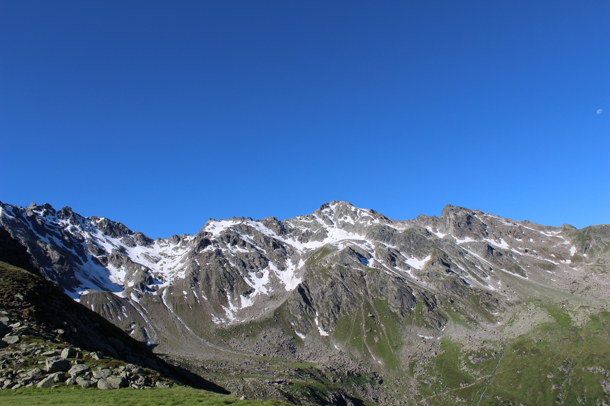
-
Looking back – the hut is just visible bottom middle
-
Up to the Hochmaderer Joch
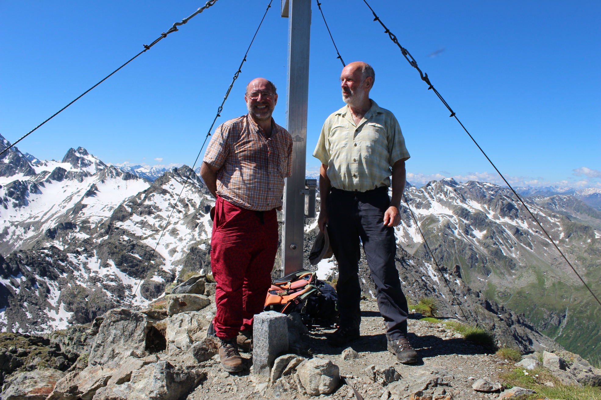
- At the Hochmaderer summit (2823m). Summit views follow.
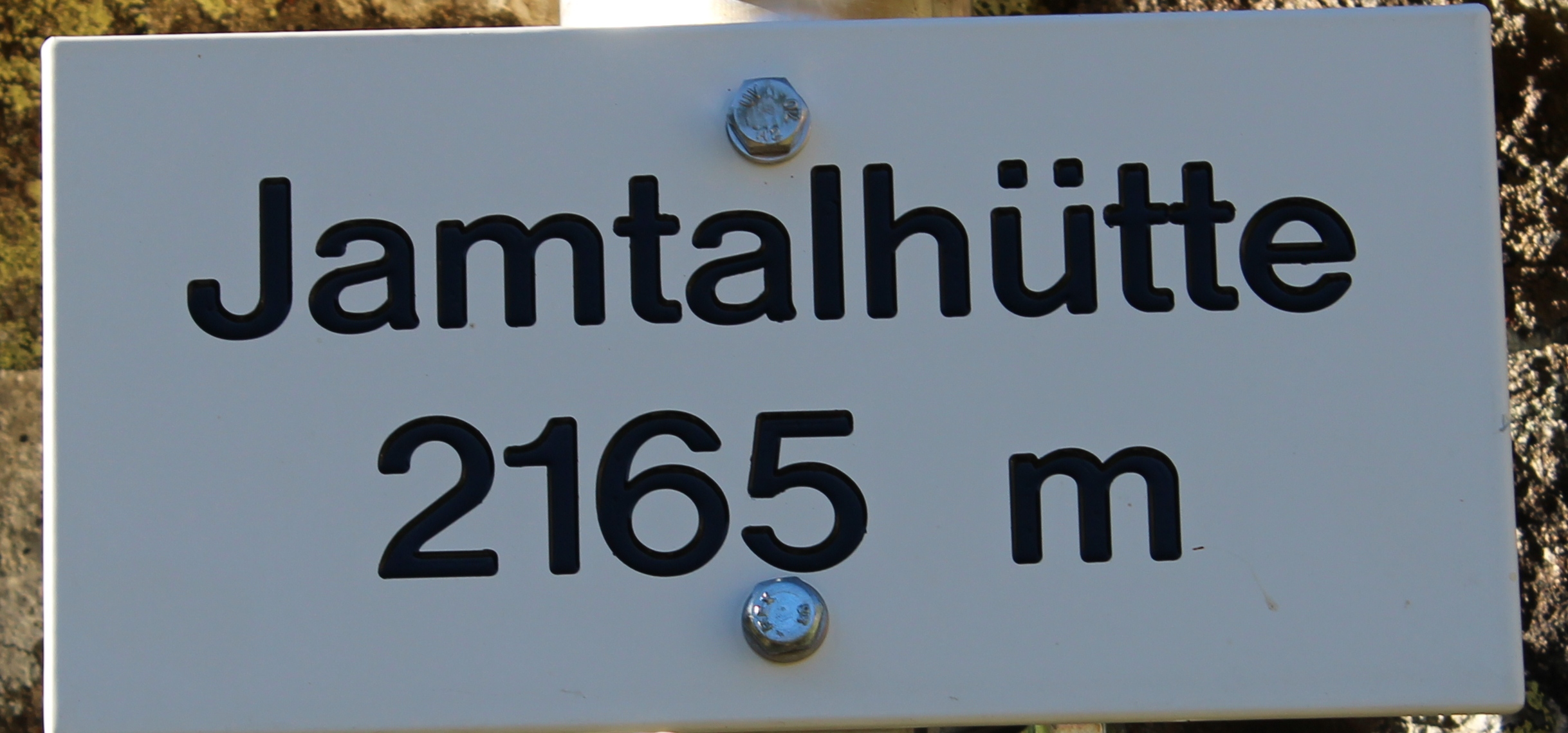
Day 9 Bielerhöhe to Jamtal Hütte
Exciting bus journey up to the pass – 24 hairpin bends each cheered by the passengers and a well earned round of applause for the driver at the top. The pass was touristy busy and so was the trail until the turn off for Jamtal (not surprising when we found out what was to come!) The first part of the route was up a river valley with great views opening up of the mountains.
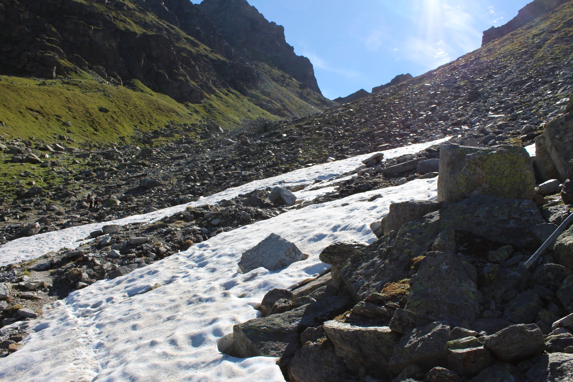
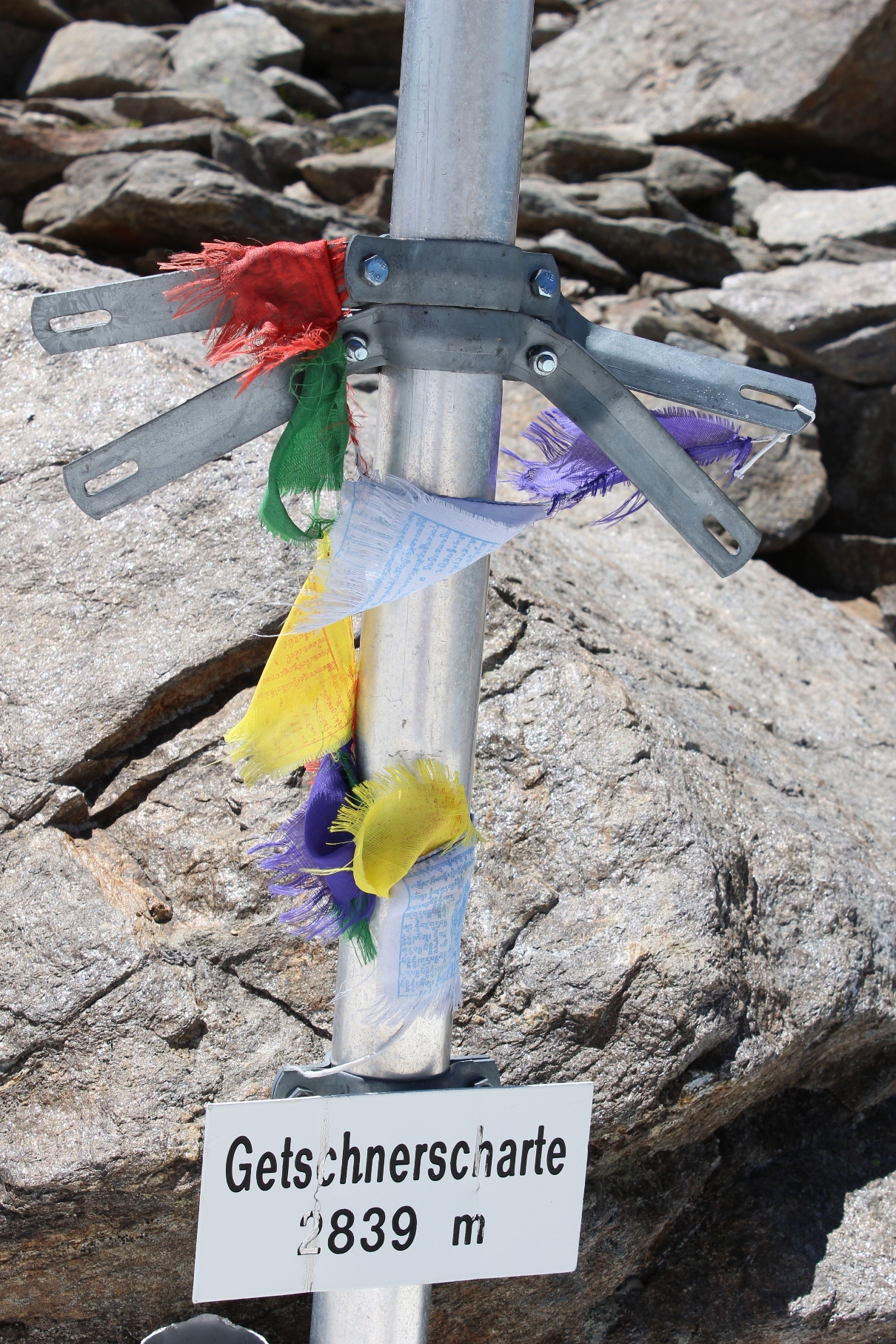
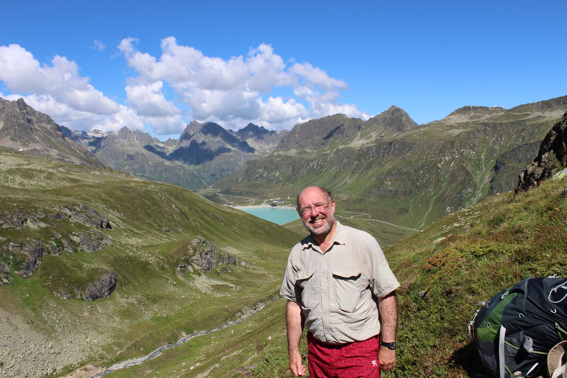 We eventually arrived at the bottom of a long steep rocky slope mainly snow covered which led to the top of the pass. Snow conditions were good and we followed footprints up.
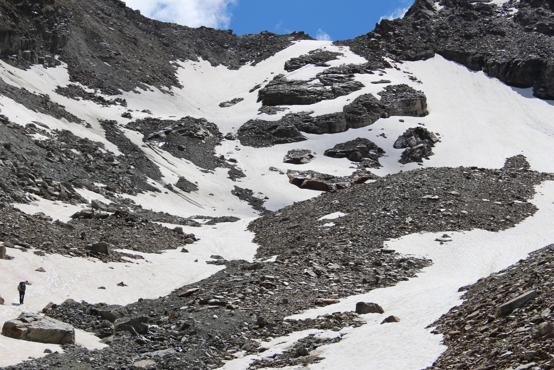
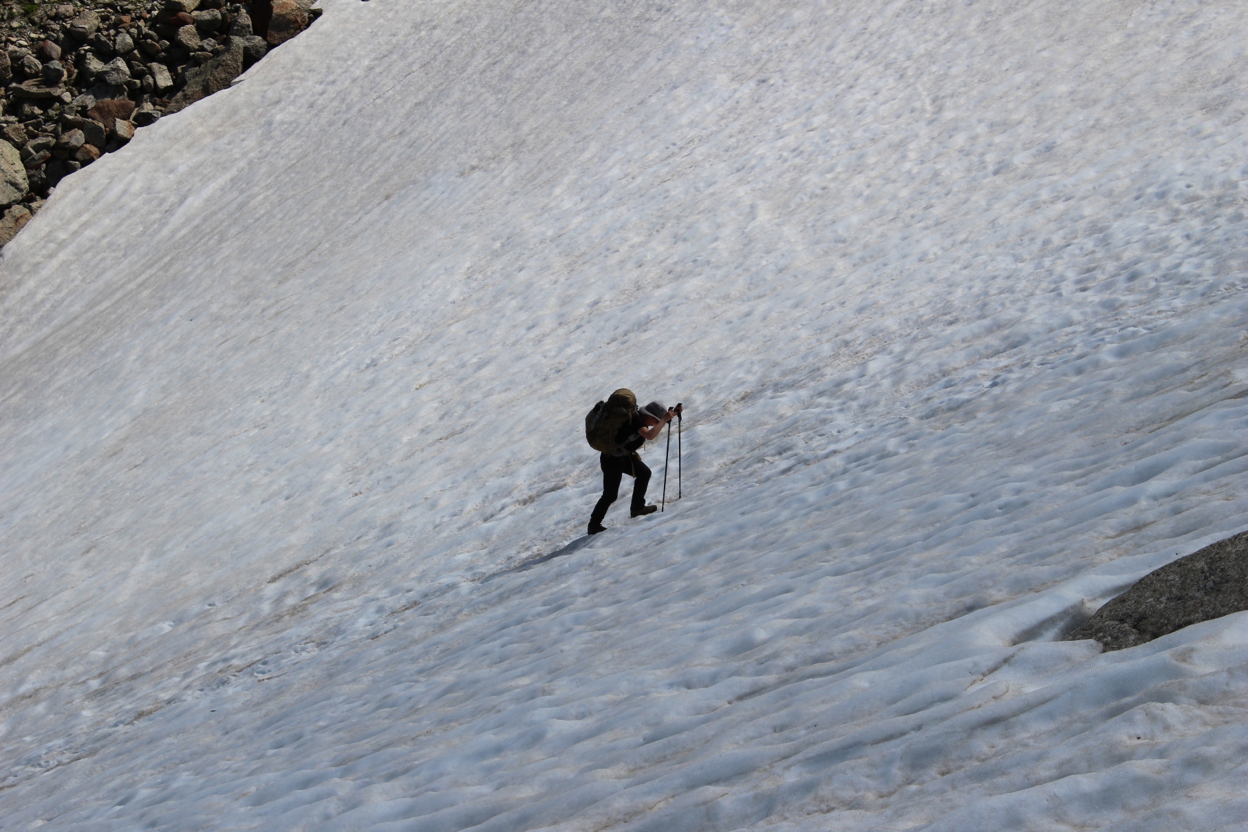
Lunch at the top with great views.
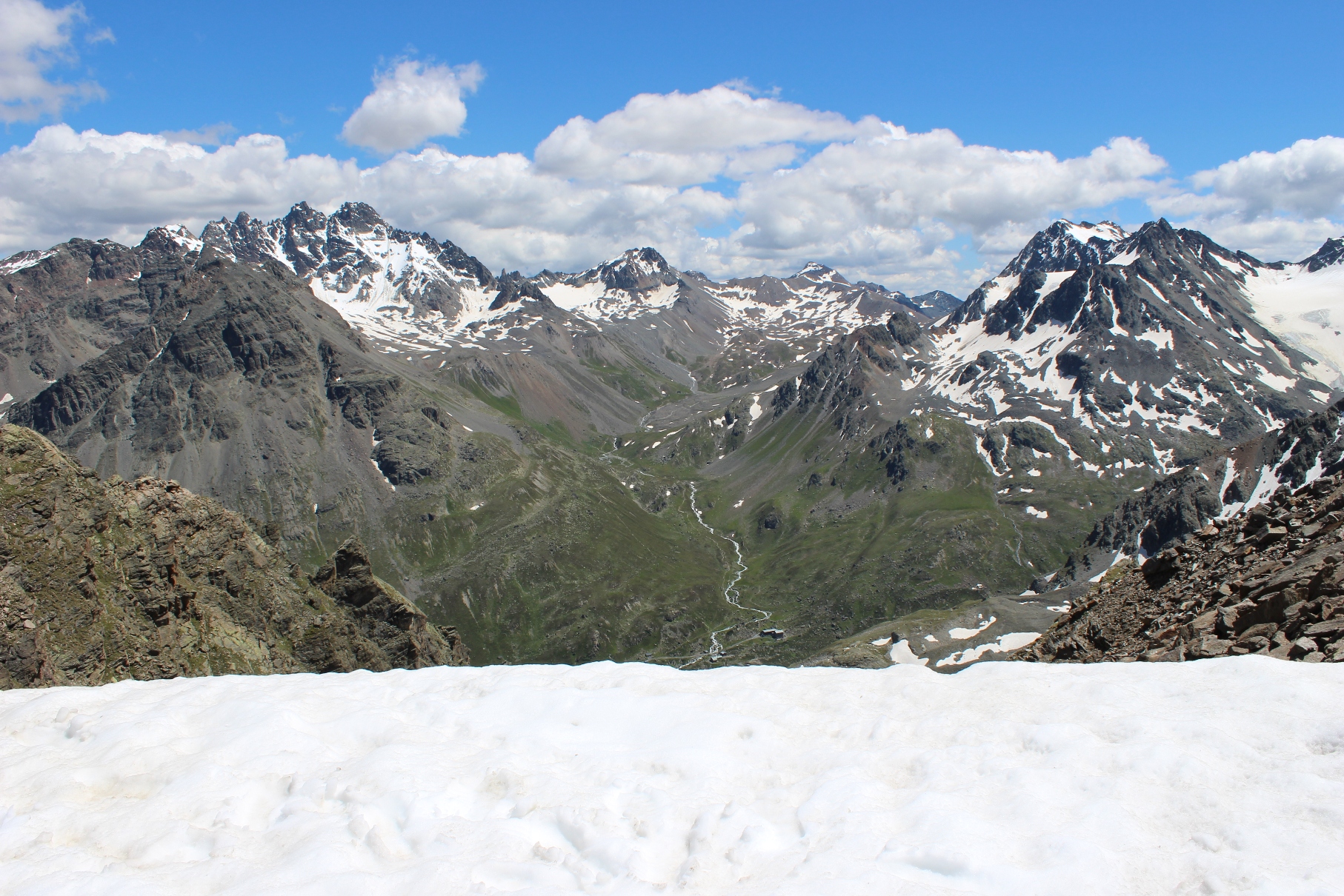
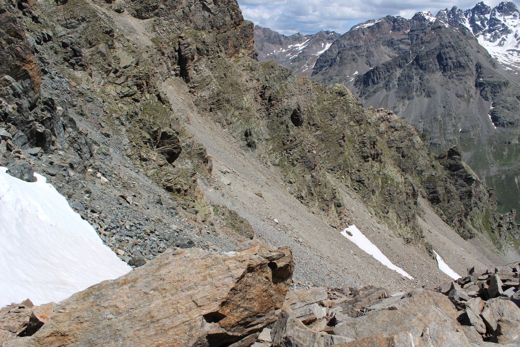
From the pass you can see the first part of the descent – long, very steep, lots of loose scree with a couple of tricky looking snow fields – it is a tricky descent, The “path” roughly follows the line where the scree meets the rock. It is well marked but good footholds are at a premium – definitely not for beginners.
-
View of the “path” from the top
-
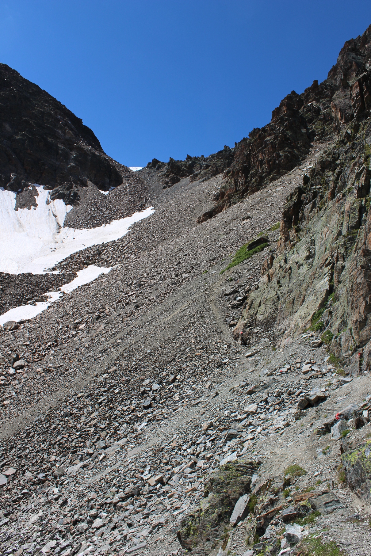
View of the steep section from the bottom
While lunching, we were able to watch a party in front of us descending. When they came to the snowfields, they were jumping from the rock onto the steep snow which looked unpleasant. Watching this made me uneasy. When we got to the snowfields, the obvious route was to drop into the gap between the snow and the rock. When we did this, we found footholds in the snow left by previous trekkers. It is not the first time that I have watched parties in front make a descent (and it is usually a descent) much more difficult that it needs to be.
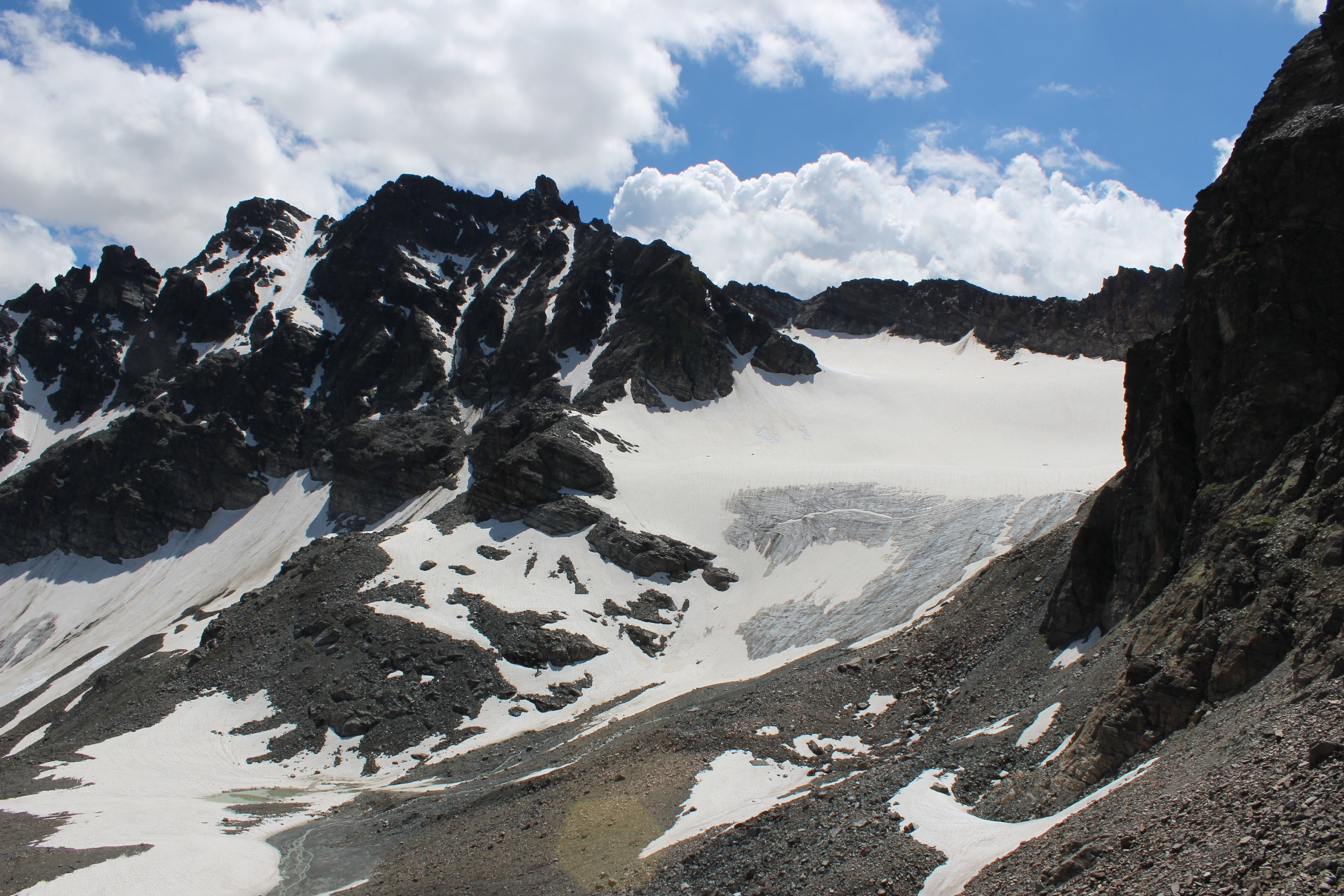 The area is very spectacular scene wild mountain terrain of rock, scree and a glacier. After the long steep descent, the path contours round a corner and then descends less steeply on a path through grass. You can now see Jamtal Hütte almost vertically below.
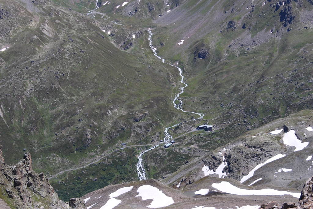
You still have to negotiate the steep path, cross a torrent on a new bridge and then find a route up the bouldery slope to the hut. Arrived at about 4.00 and glad to be on level ground!
Jamtal is a very large hut. It provides a wide variety of outdoor activities and it is used for courses. It is very well run and, in spite of its size, it still has a hut atmosphere.
(NB Jamtal is connected to the road by a Jeep track. It is possible to avoid the tricky descent by getting a bus from the Bielerhöhe to Galtur from where it is an easy stroll to the hut – you may even get a lift in one of the vehicles that go up and down.)
Day 10 Jamtal Hütte to Ftan
Left just after 8.00 am up a very interesting three tier valley, some snow to be crossed but no difficulties to the to the pass and the Swiss border. 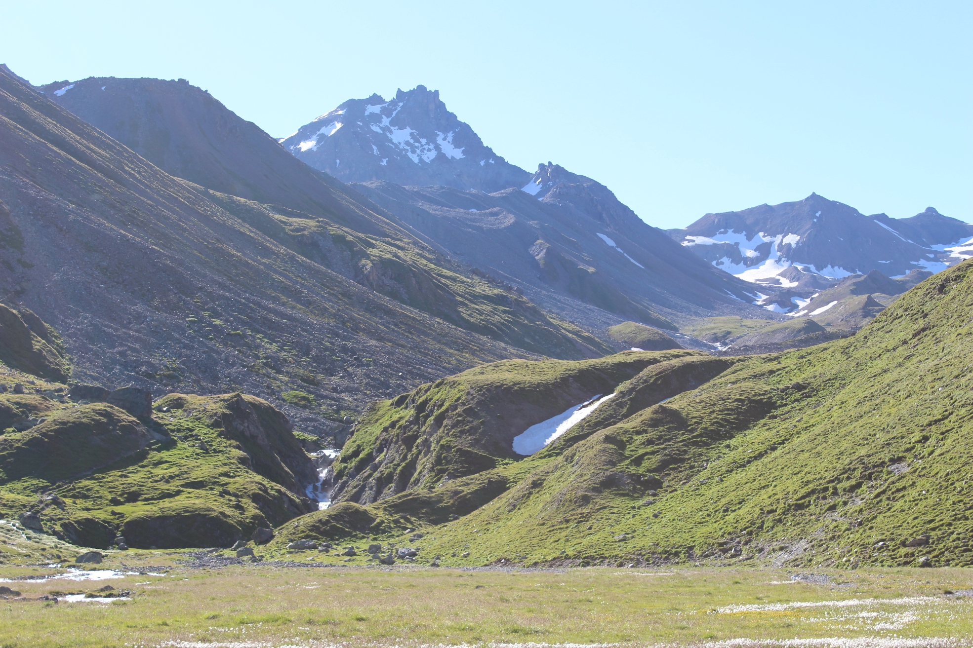
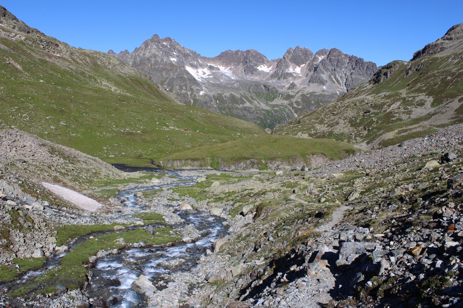
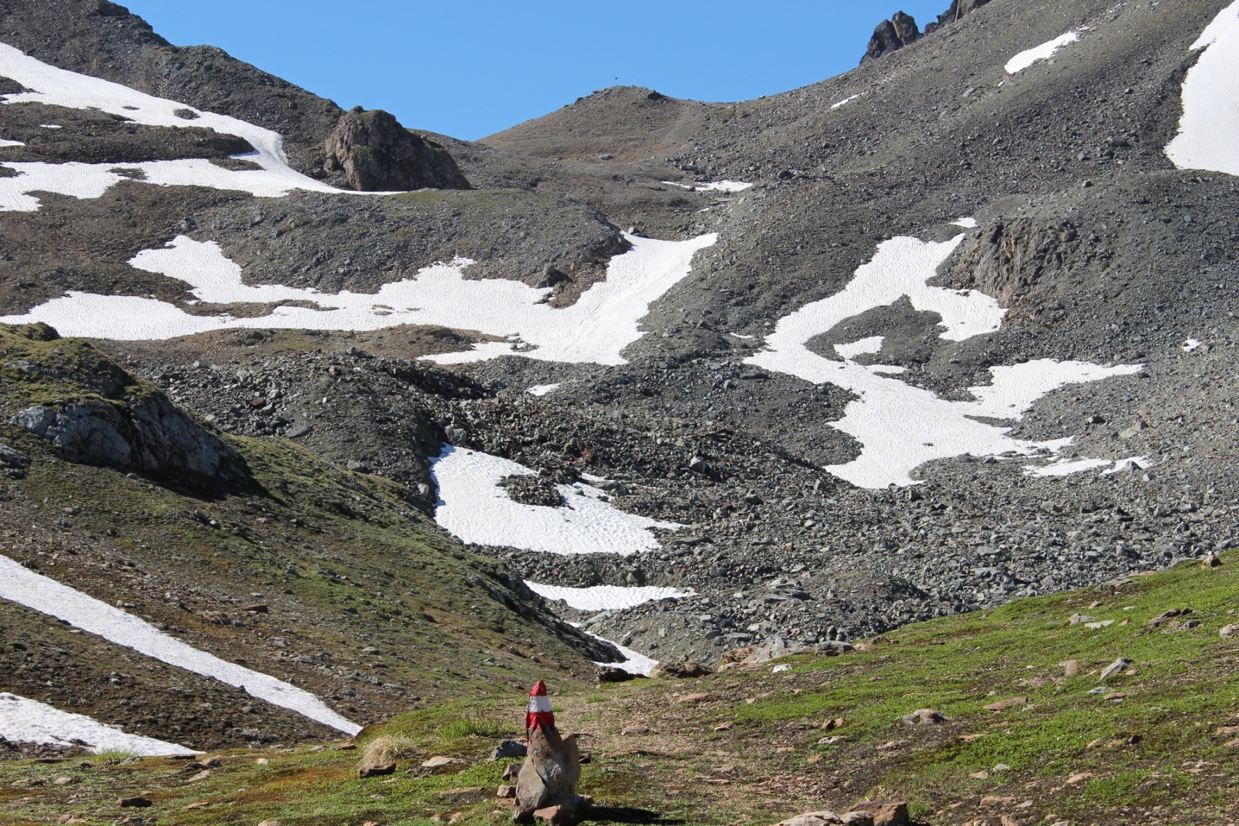
The final climb to the col
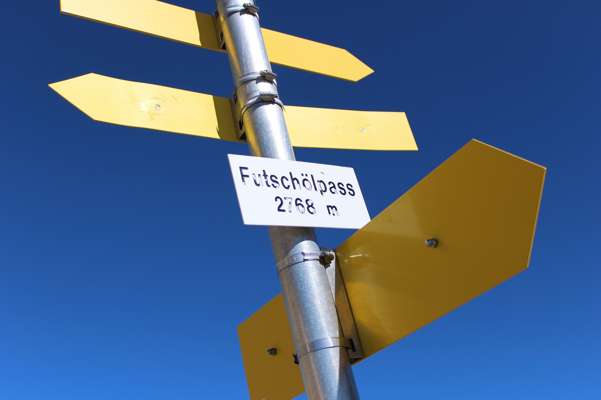
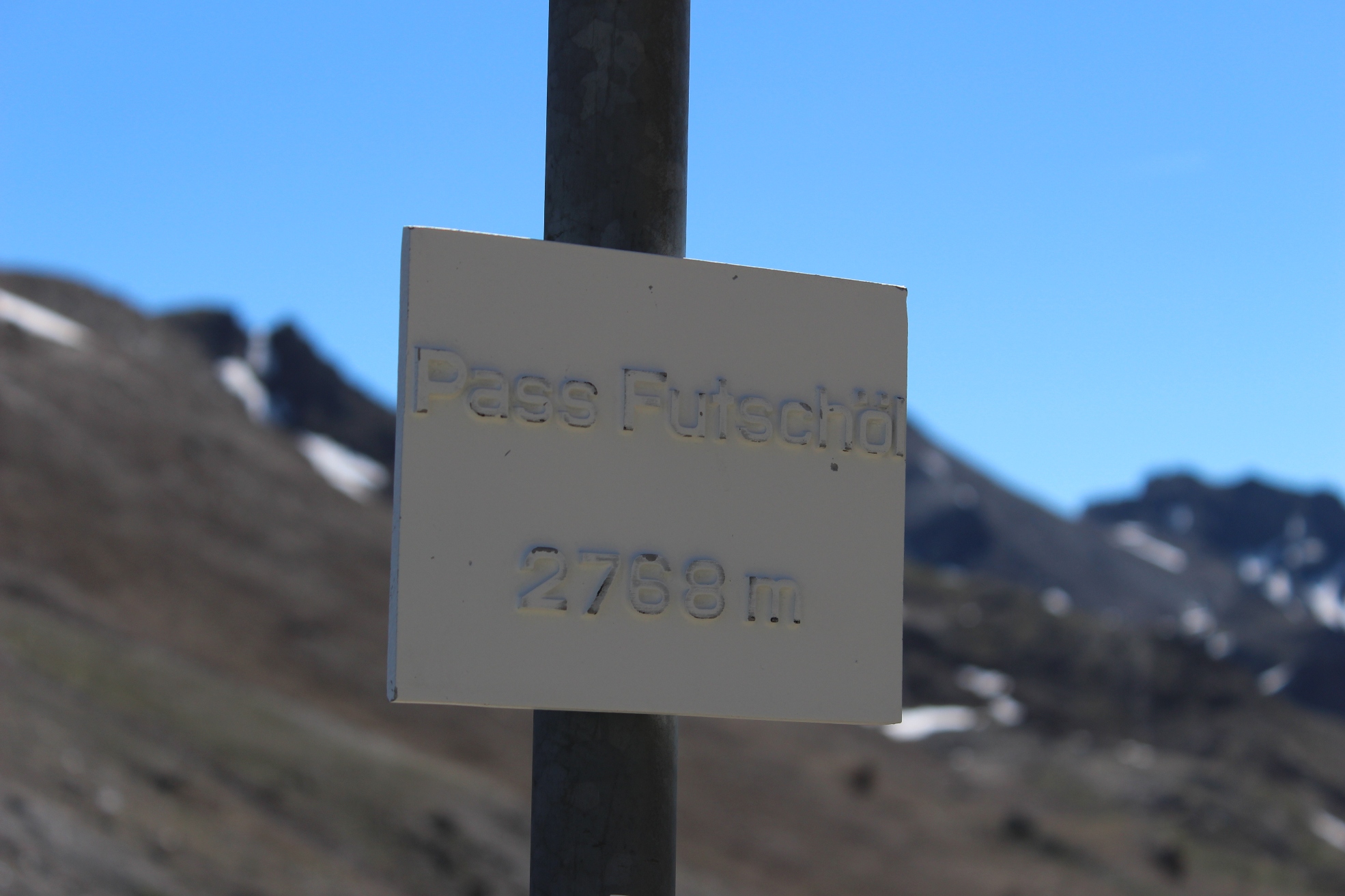
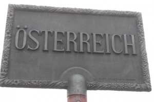
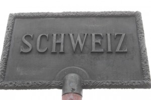
Austrian and Swiss signs
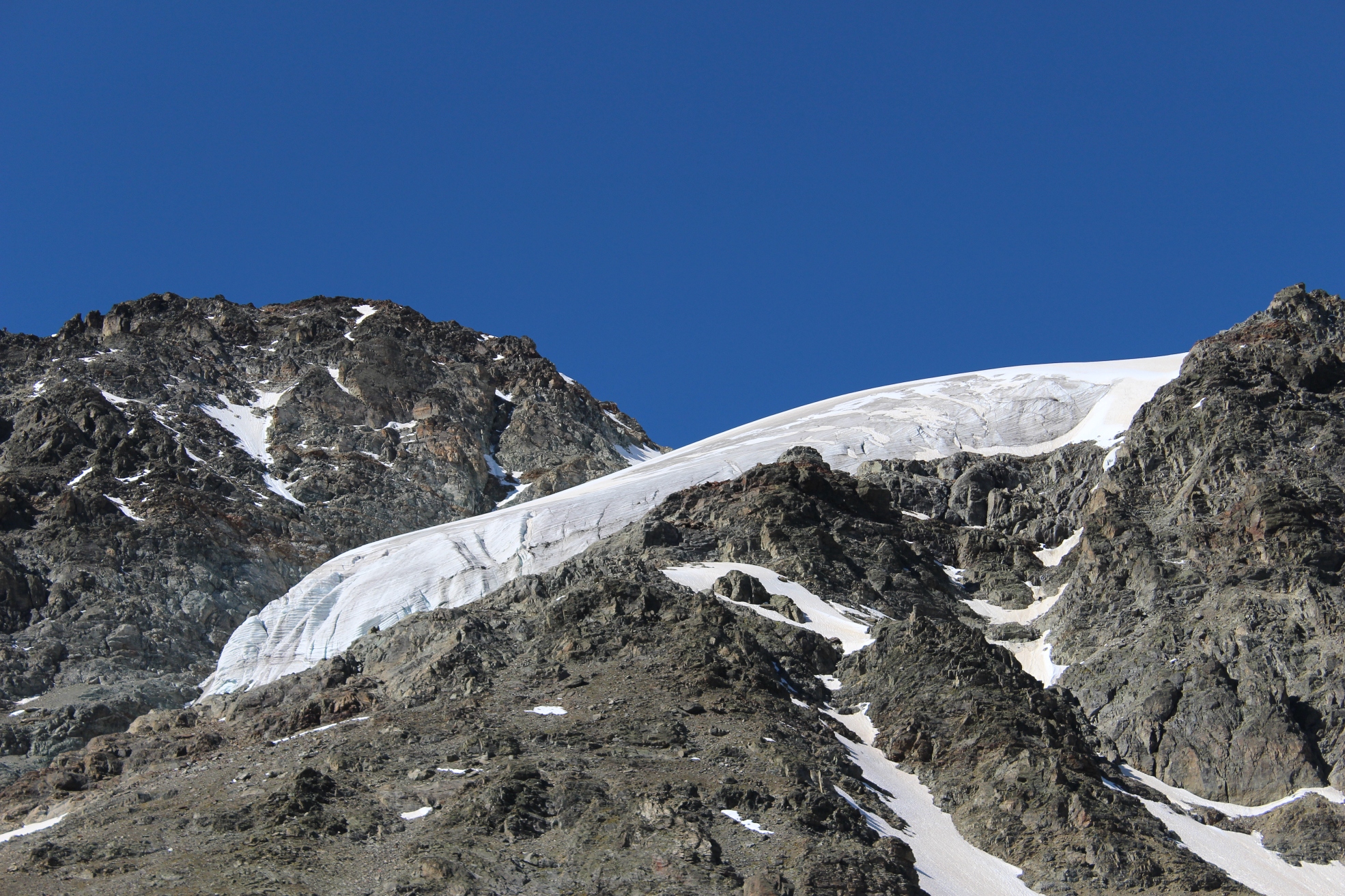
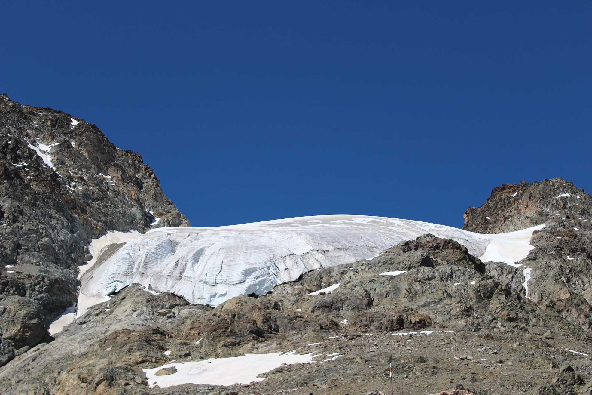 There is a great view of a hanging glacier.
-
This is not the route!
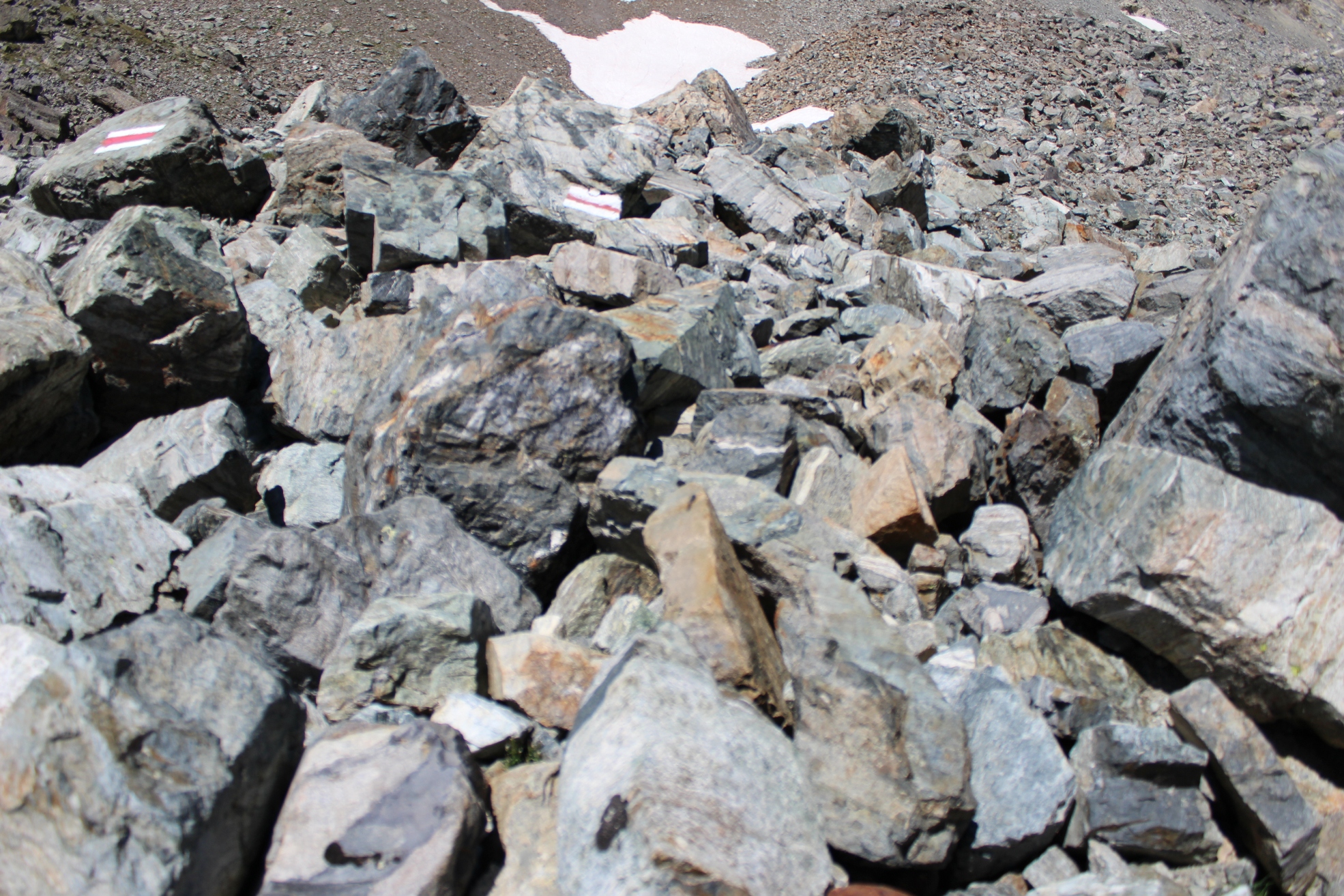
The descent has none of the excitement of the previous day, though there is one tricky part. The descent goes down a moraine made up of very large boulders. The path is marked by paint marks on the boulders, but (it became clear) that there had been a land slide and many of the marked boulders had fallen down the slope creating a false and confused trail. The actual path goes to the right high up on the moraine and we had to scramble back up to join it.
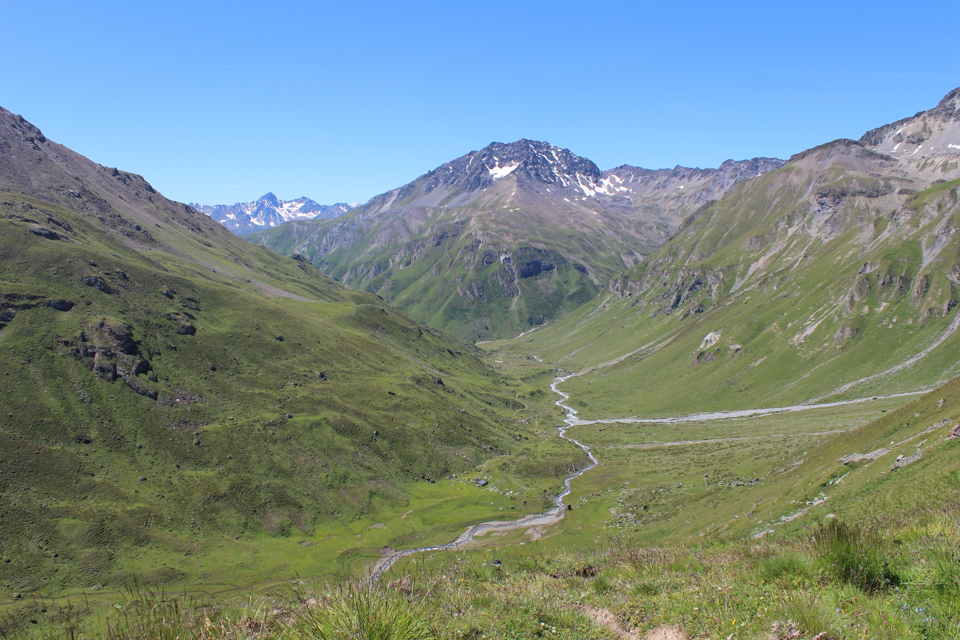
The grass slopes above Val Urshai are soon reached and we had a pleasant lunch sitting on the grass knowing that all difficulties were over. We were heading to Ftan which is a charming walk on excellent tracks down the valley (for the Scuol bus and the excellent Hotel Belvedere). We arrived at Ftan just after 3.00 pm.
-
Val Urshai
-
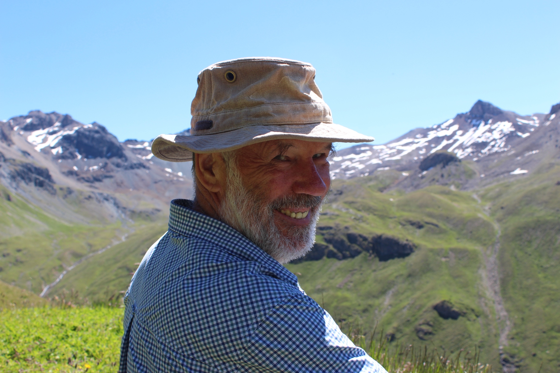
At lunch on the last day of another great trek!
 Great views on the descent to Ftan and the Engadin valley
Those who want to continue trekking instead of heading for Ftan can head for Chamonna Tuoi and then continue to Chamonna Marangun and then to Berghaus Vereina where there is a minibus down to Klosters. I did this route a few years ago as part of an Engadin Trek I can recommend it.
Trek undertaken in mid July 2014

